Les Chapieux - Refuge des Mottets - Col de la Seigne - Rifugio Elisabetta - Aiguille-Noire
- Distance: 25km
- Duration: (with breaks): 8h 30min
- Elevation gain/loss: 1450m/1500m
The morning started on a fun note with hikers sharing survival experiences with the fellow “lucky” ones camping. We did not sleep a lot but could not linger too much as a long day was waiting ahead. Today we are combining two stages from the original Cicerone itinerary. We couldn’t get Rifugio Elisabetta, so our destination is a campsite close to Courmayeur. What’s more, we’re leaving France and entering Italy!
It’s day 3 and we started establishing a routine to hike right after packing our stuff and stop at the next closest refuge for breakfast. I quite liked to hit the trail early and then recharge myself at the refuge.
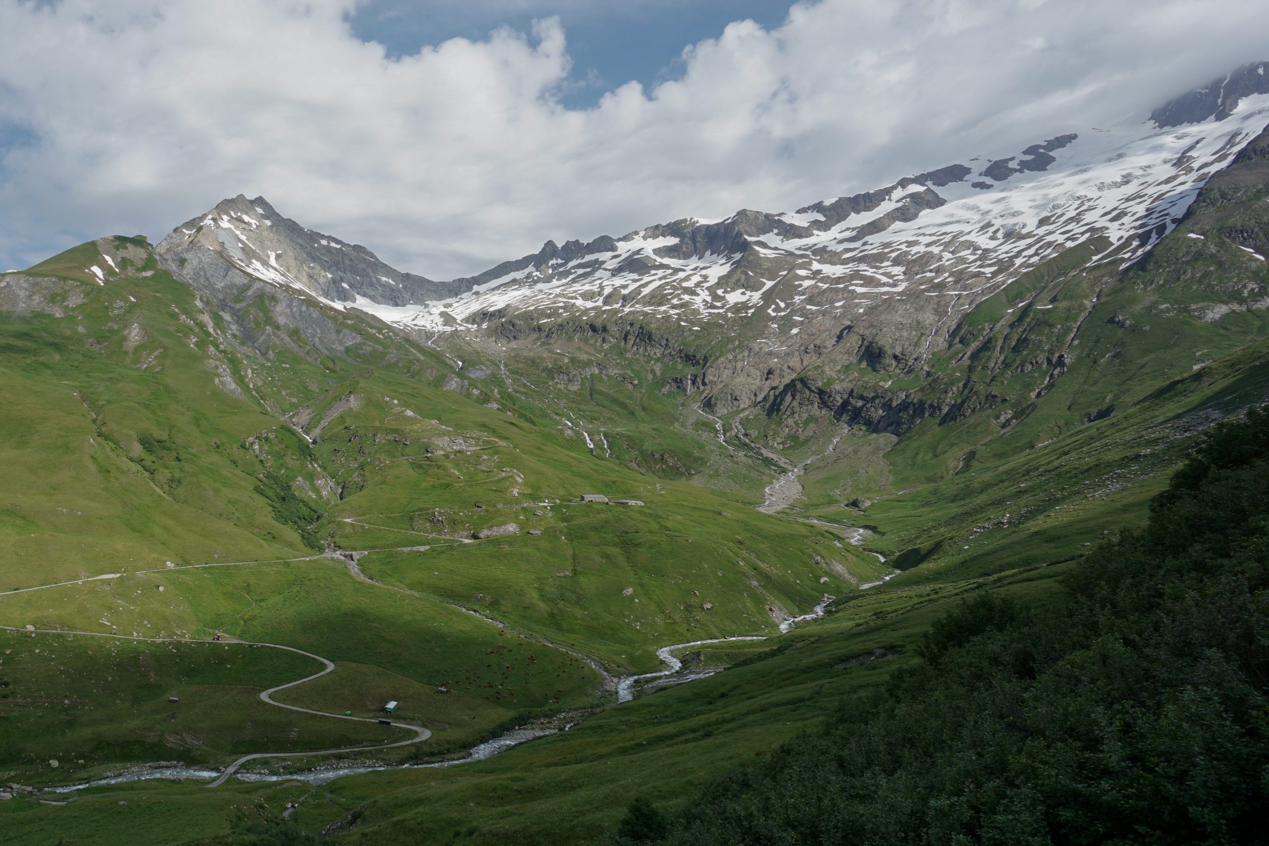
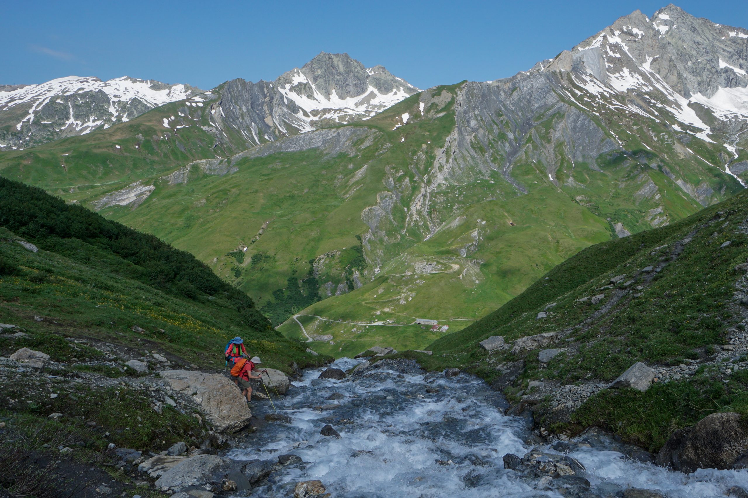
This time we got the best crepes in the Alps (Refuge des Mottets as a reference for crepe lovers). From the refuge a steady and pleasant zigzag leads to Col de la Seigne (2516m). We came across a few streams without bridges, most of then were easy to cross without getting your shoes wet.
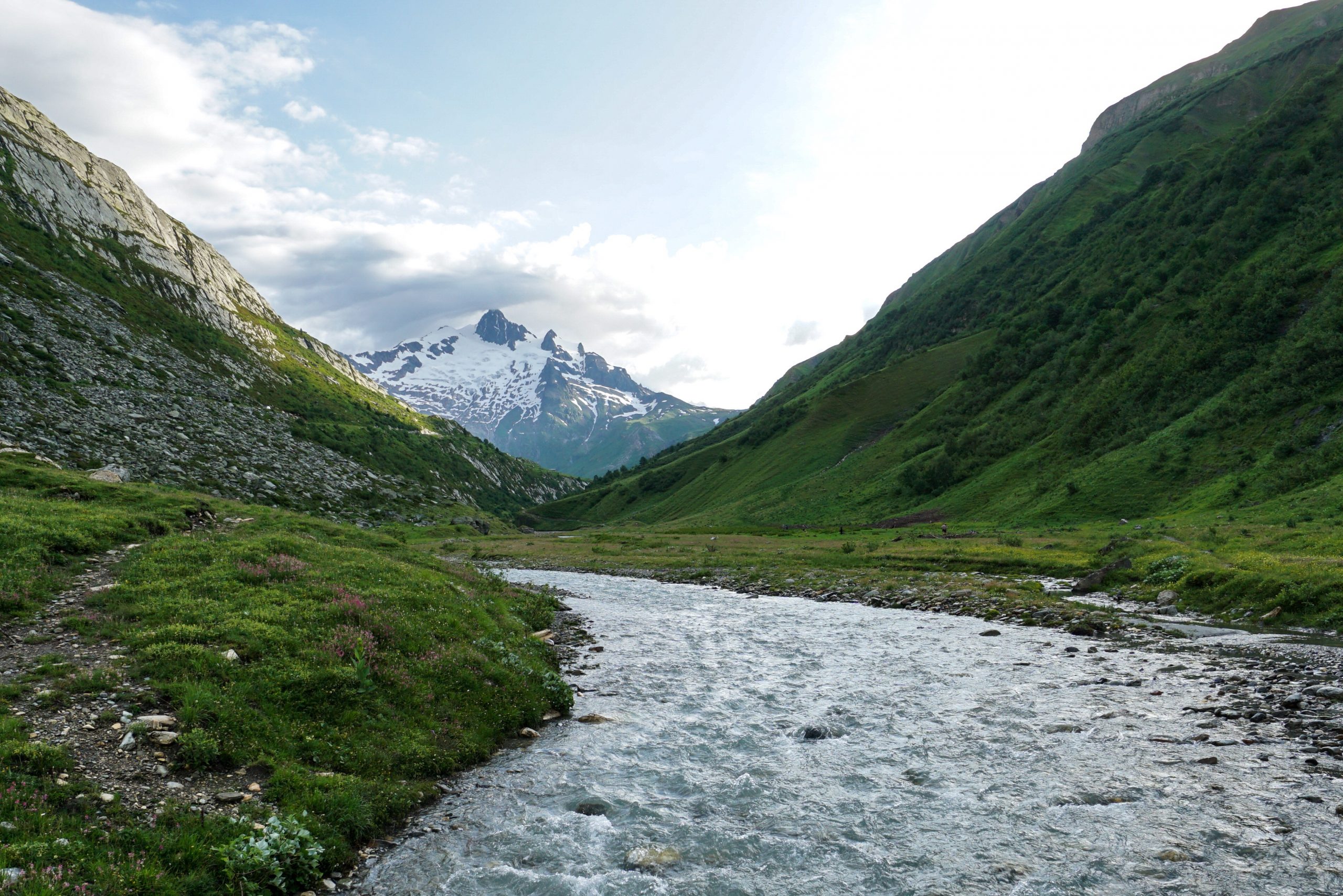
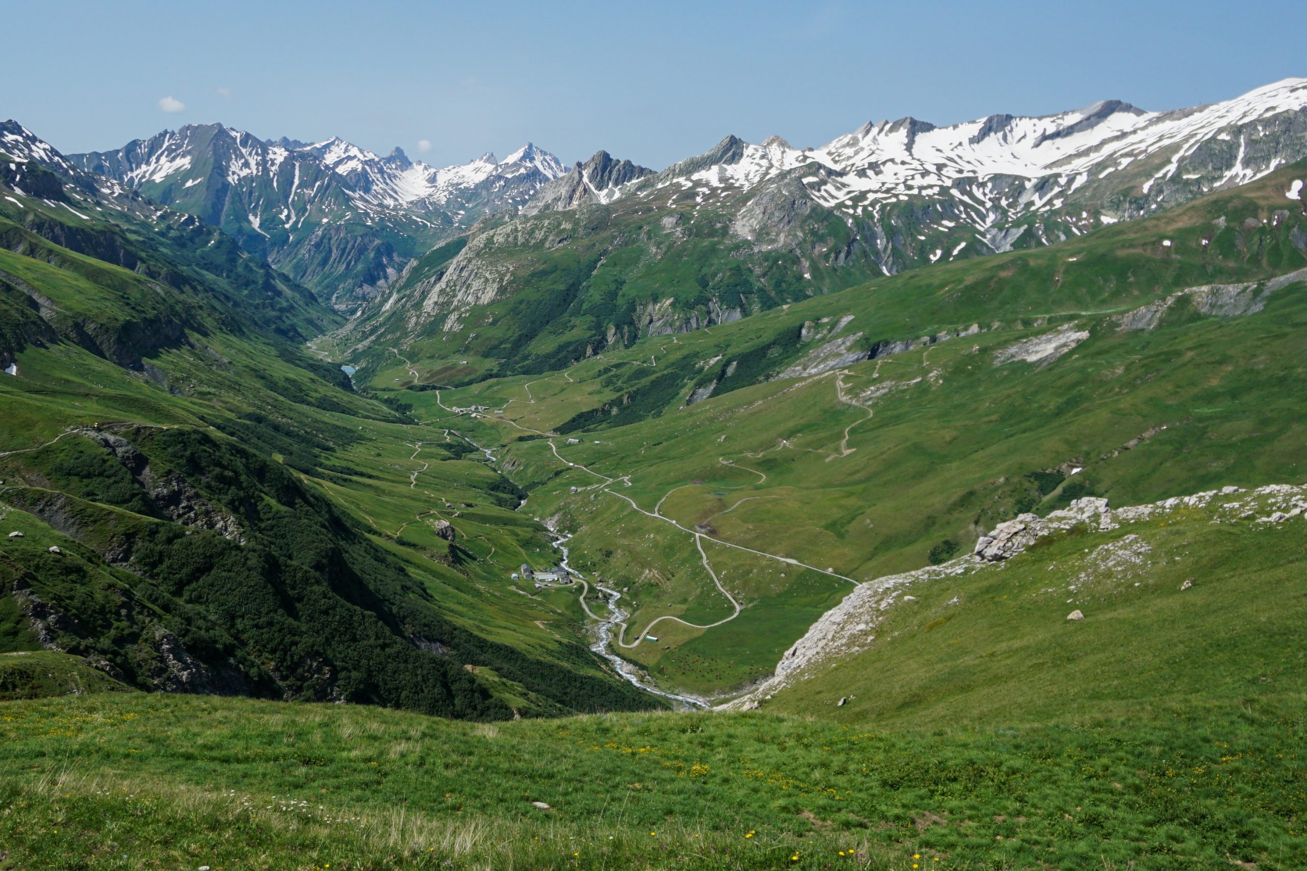
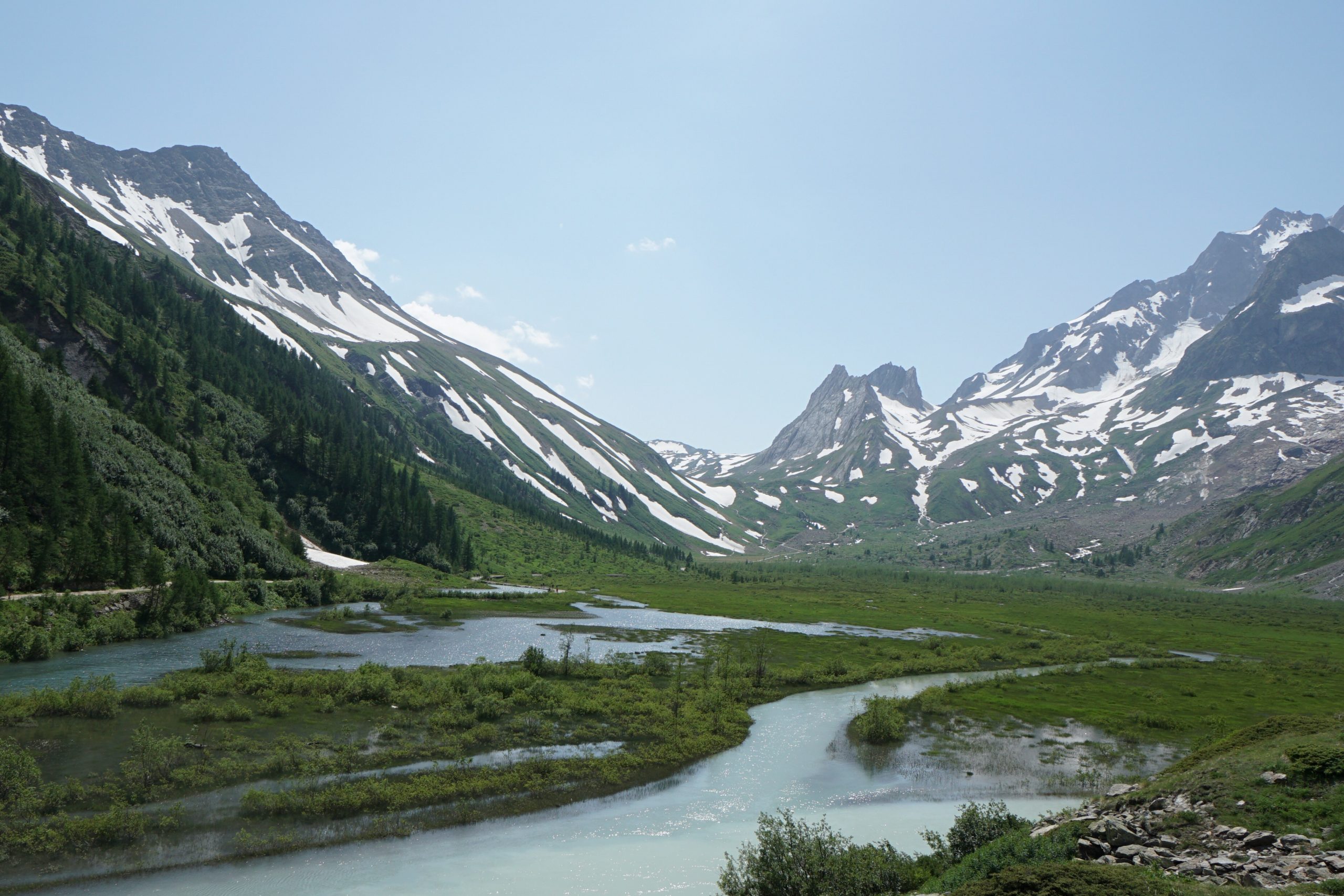
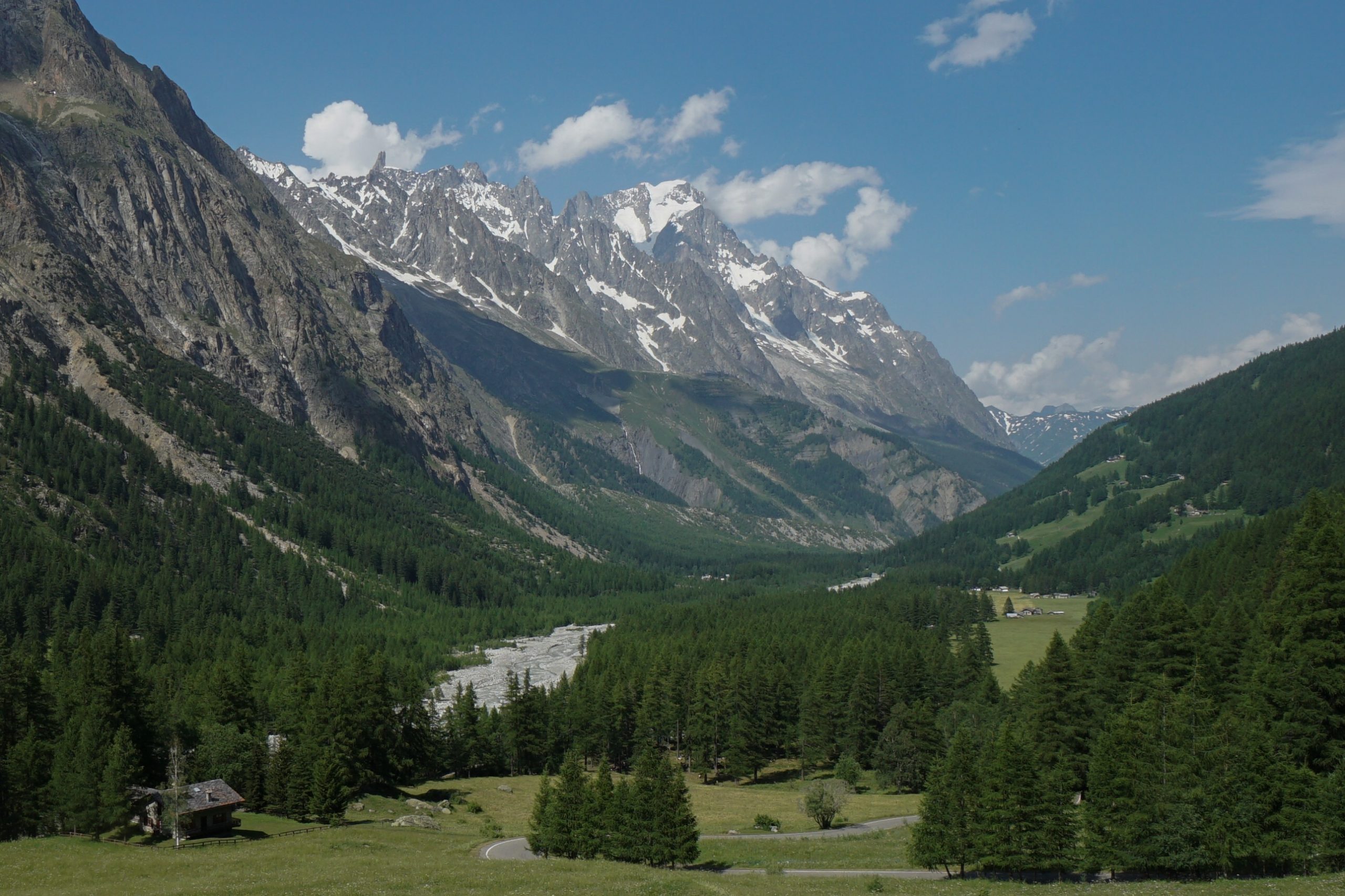
I kept on looking back at the valley behind us, which once again was just breathtaking. The whole Vallée des Glaciers is just picture perfect and definitely worth some admiration time. I’d say that this hike shows some really spectacular parts of French Alps.
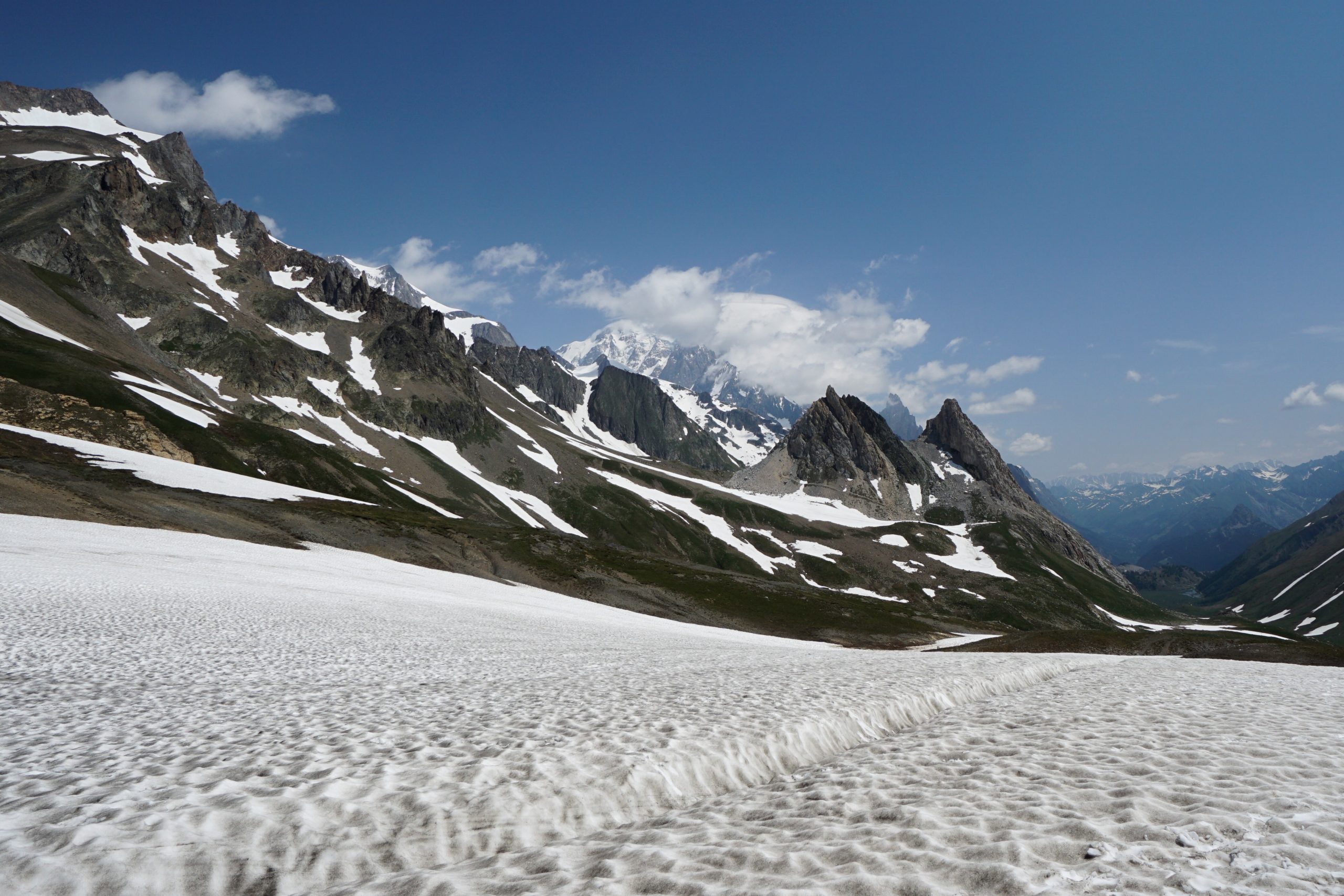
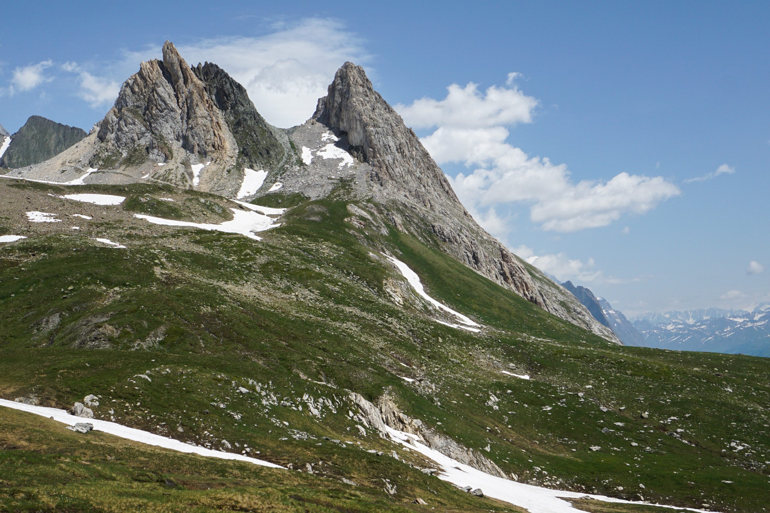
At the pass we crossed our first border – ciao, Italy! There’s even a clear border line marked in the snow, no border control though. Now I absolutely cannot have a cappuccino after 11:00. Even the landscape looks different due to distinctively sharp and pointy peaks.
The Italian side of the pass was still covered in snow and some people used the opportunity to slide down the slopes. It was a bit tricky to follow the path as snow covered the markings in some places.
The sign to Rifugio Elisabetta at the pass was also confusing as it kind of showed to go to the left, while the rifugio was somewhat on the right. I’m sure we went off the path in many places, but we just oriented ourselves to go down and eventually left the snow and came back to TMB.
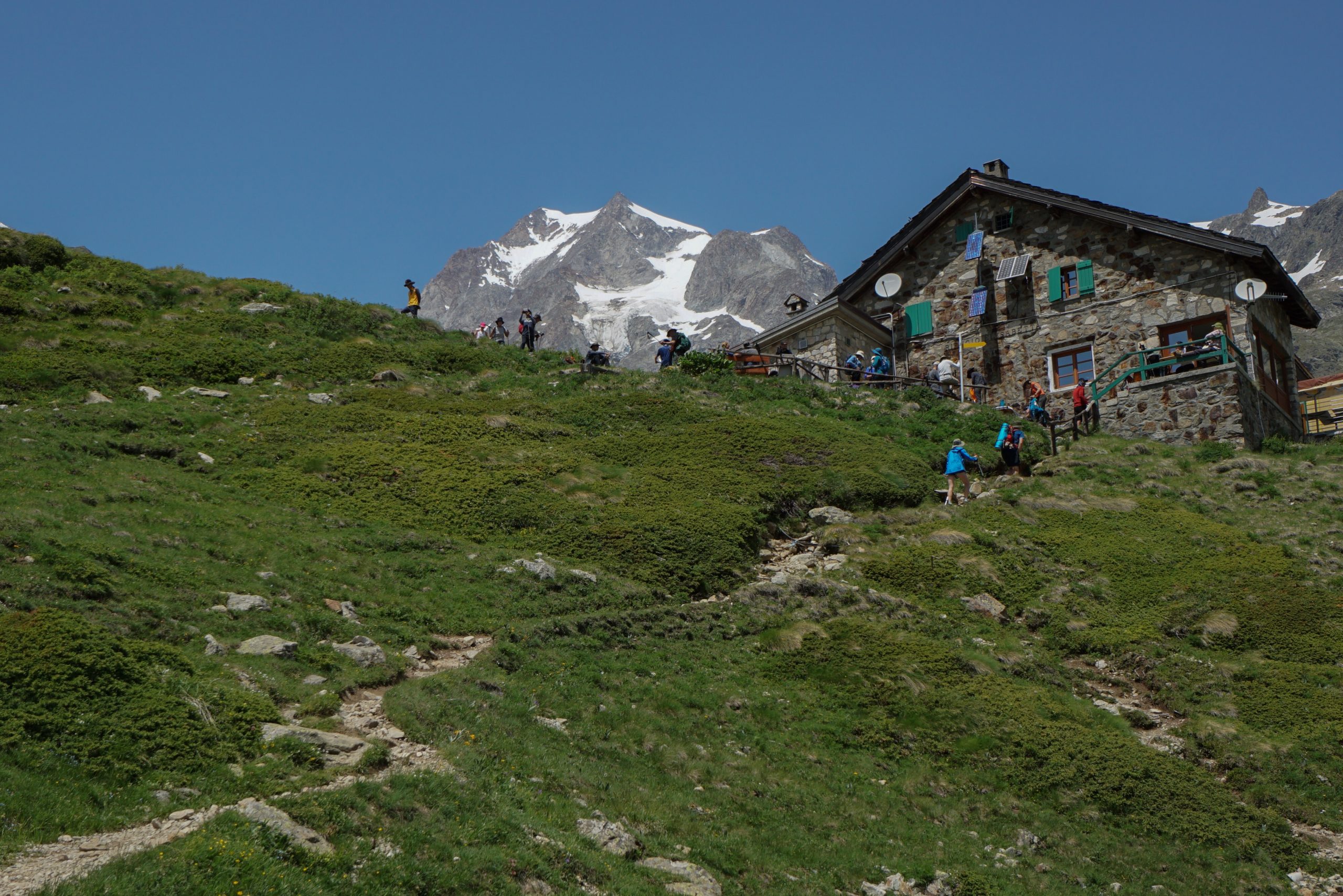
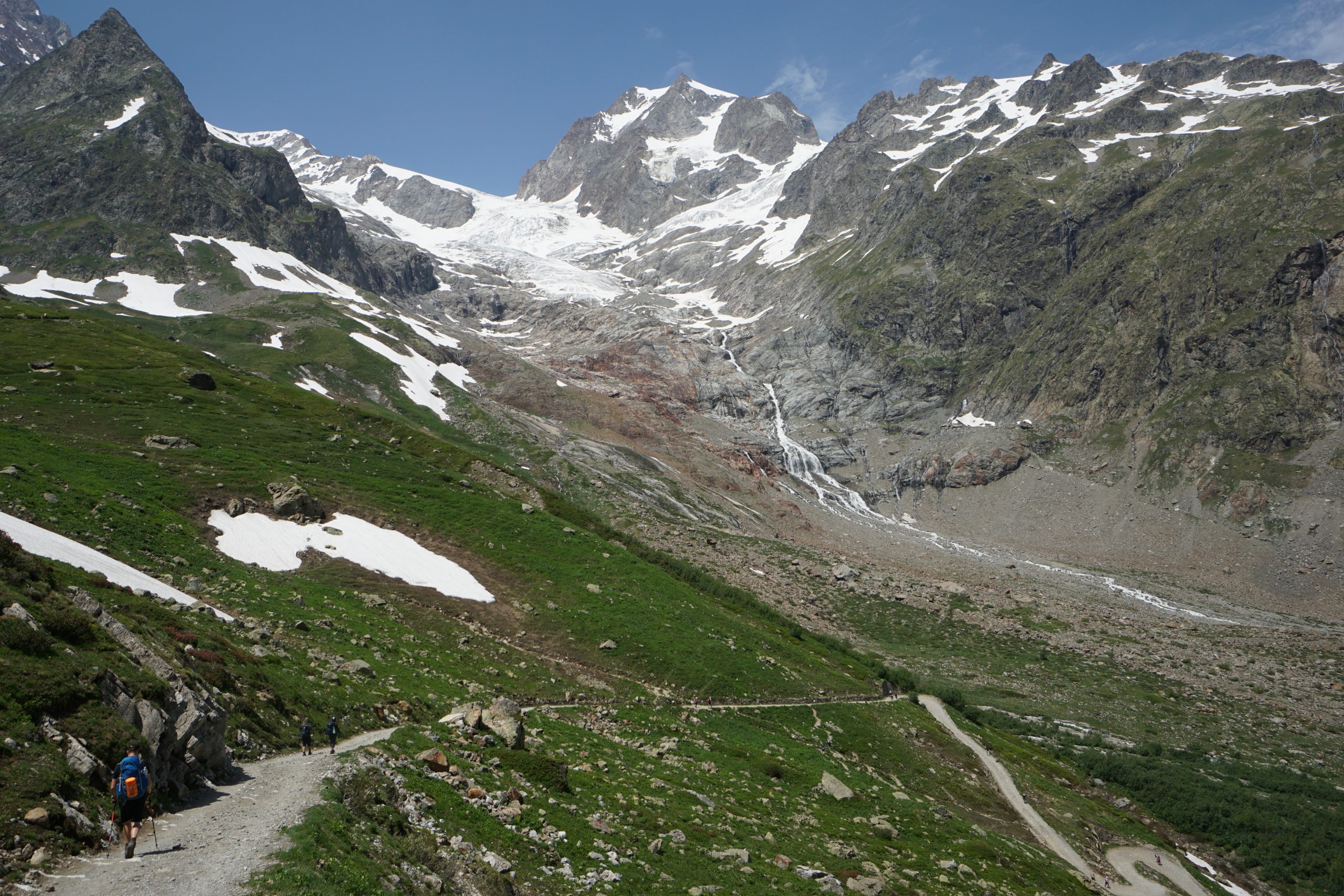
Soon after this snowy descent we arrived at the Rifugio Elisabetta, which marks the end of Stage 3. The hut sits in a spectacular location, surrounded by mountains everywhere you look and Glacier de la Lee Blanche right behind it.
It is a very popular hut, usually fully booked for months not only due to the views, but also due to the remoteness of it. Any alternative accommodation is at least 2 hours away. There is no official camping place anywhere near and wild camping is illegal in Italy, which further limits the options.
After a very delicious pasta (even Edo liked it! FYI Edo doesn’t really like pasta) for lunch we moved towards our destination, which was still a few hours away – a campsite at the outskirts of Courmayeur.
From Rifugio Elisabetta the path leads on a gravel road down the valley. Numerous streams from the glaciers run alongside the path once it levels to a flat road. Yeah, it was flat for at least 45min! We used the opportunity to speed up and progress fast towards Courmayeur.
As we combined two stages, this also meant that TMB variante to Courmayeur was out of question (and out of energy) for us.
After a few hours we finally arrived at Camping Aiguille-Noire, which is a well established campsite (ATM, small shop, a restaurant). Obviously we had a pizza and obviously it was delicious.
Once again there was a storm in the evening, but this one was a breeze compared to the nightmare of previous night so we even managed to fall asleep during the storm. Getting trained on thunder ignorance.
Day 3 tips
- There is a bus from Les Chapieux to Vallée des Glaciers in case you want to save time and skip hiking alongside the river. It is not a must-have section, so if you're tight on time (or energy), skipping it might be a good option.
- Except for refuges, there are no places for food and refreshments all the way until Courmayeur.
