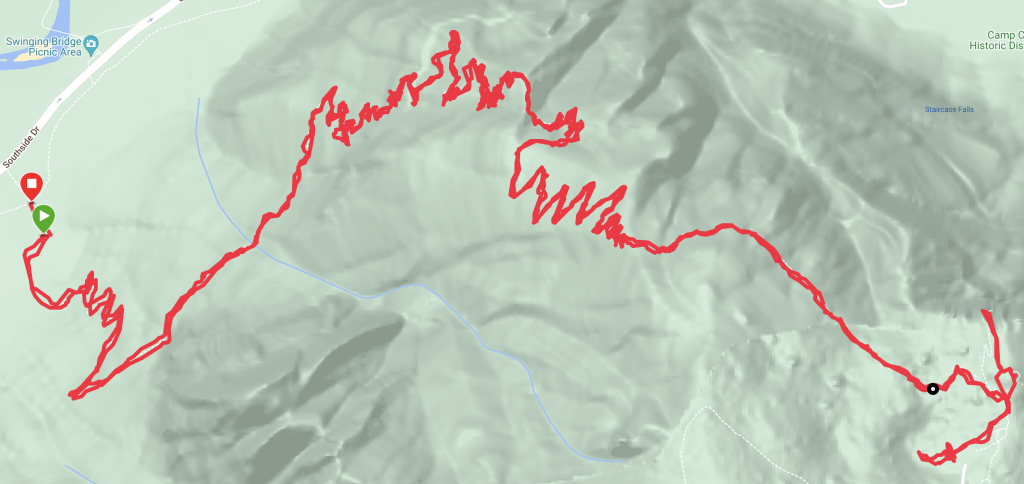
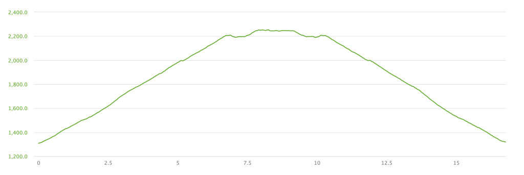
- Distance: 17km
- Duration (with breaks): 5h 40min
- Duration (only hiking): 4h 00min
- Route type: to the top and back
- Start/end: along Southside Drive in Yosemite Valley
- Highest point: Glacier Point (2250m)
- Elevation gain/loss: 978m/968m
- Difficulty: moderate to difficult
- When to hike: May - November (depending on snow conditions)
- When did we hike: mid-September
Why this route?
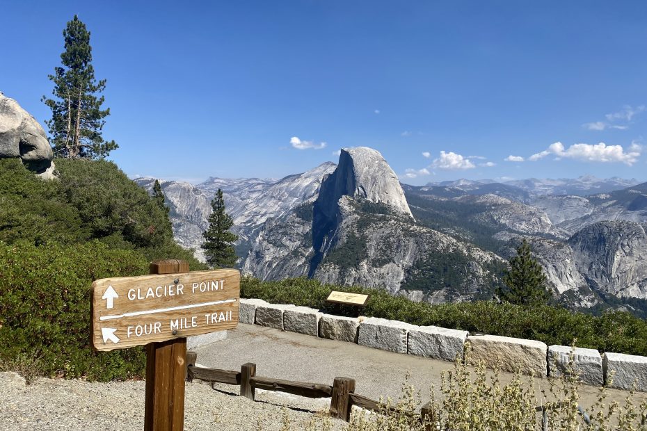
In 2022 Glacier Point was only accessible via the Four Mile Trail as the road to it was closed due to repair works. As this viewpoint offers some of the best views of the valley, we could not pass an opportunity to visit it without having to share it with hundreds of other visitors.
How to get there?
The trailhead is along Southside Drive in Yosemite Valley. You have two options:
- Drive to the nearest parking lot and start from there
- Leave your car at any less crowded parking lot on the west side of the valley and take a Valleywide Shuttle (stop #11).
At first, we chose option #2, but after waiting for the shuttle for 30 mins, we got fed up. It was another hot day and so our effort to come to the trail as early as possible seemed to be wasted by waiting for the bus which was supposed to run every 15min. Hence, we got back to our van and drove on to find a parking spot close to the trailhead. The parking spaces close to the trailhead were taken, but we managed to find a spot ~ 15min walk from the start. Good enough!
So how was it?
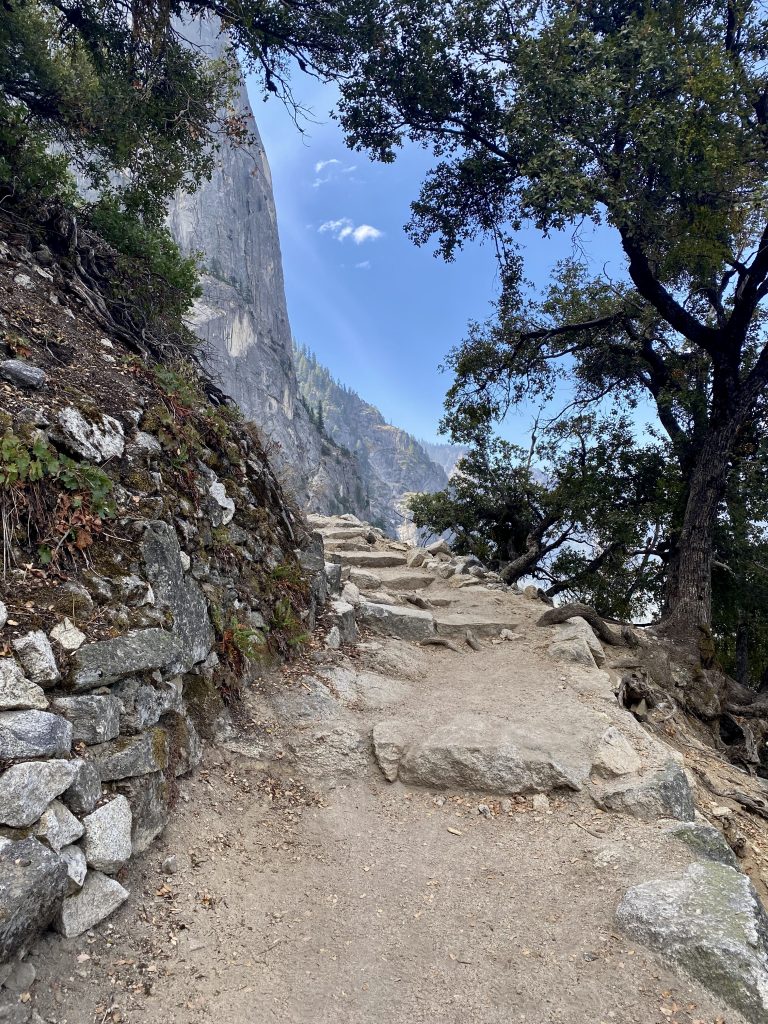
This trail is very simple – all you need to do is climb up 4 miles (~ 6.4km) to Glacier Point. Actually, it is a bit longer than 4 miles, but hey, otherwise the trail would have to be rebranded 😉 The fun part (or the torturous one as some would argue) is the elevation as you’ll be ascending almost 1km, which is a lot.
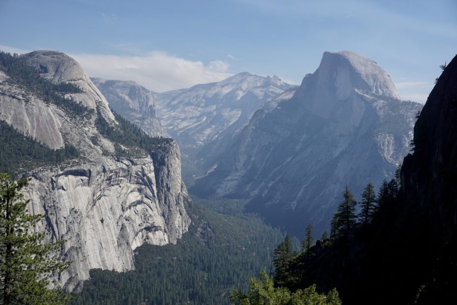
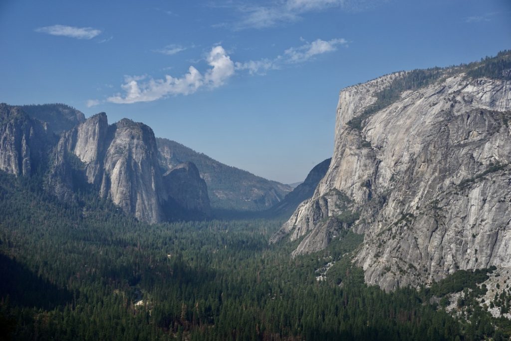
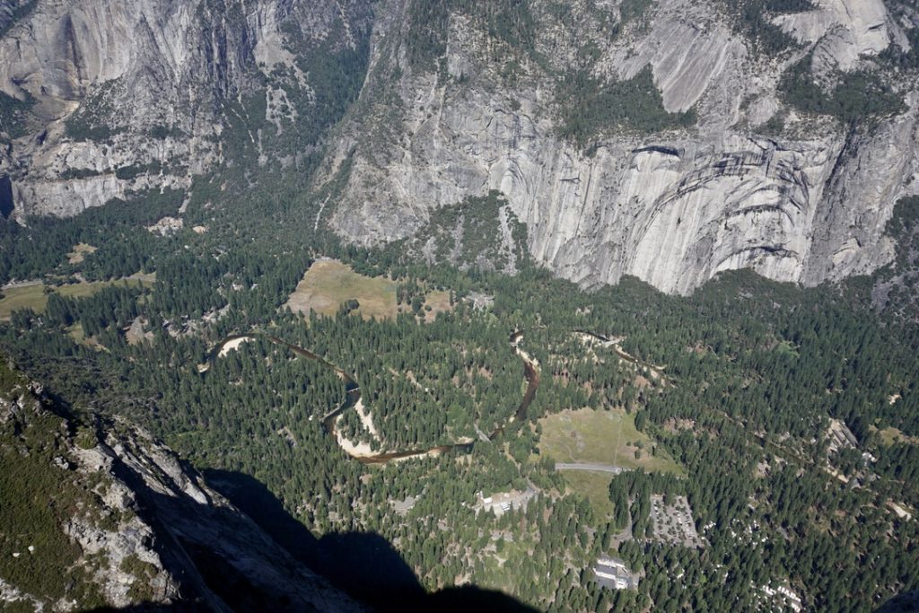
The trail zigzags up for what at some point might feel like an endless endeavor. The good news is that you’ll have amazing views already after ~ 1 hour. I loved staring at the west side of the valley with the Merced River snaking through it and sharp peaks surrounding my view. We also saw one of the tallest waterfalls in the world, the Yosemite Falls. Technically. What we actually saw was the dark spot in a mountain where the Falls were supposed to be. They were completely dry 😅
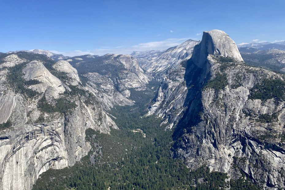
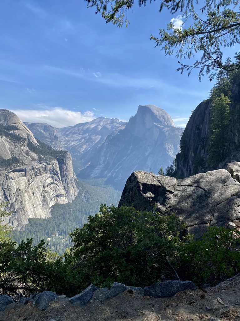
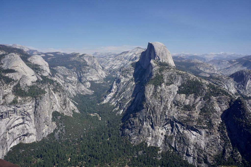
As the trail turned further east, we spotted the Half Dome in all its magnitude already before Glacier Point. There’s a small opening to it 20-30min before the viewpoint. Once we reached the viewpoint, surprise surprise (or not) we were surrounded by many fellow hikers who had the same idea as us. I can only imagine what a mess this place is in a “normal” year with the road open when people can drive all the way up. At least this year everyone earned the views 😉 and boy what a view it was!
Yesterday we saw the Half Dome while hiking the Mist trail and only today we could finally see how much larger it is compared to other rocks around it. It really stands out. We could also see the Nevada Fall that we visited yesterday.
Overall, if you’re looking for a full-day activity with great views (and you didn’t score the permit to climb the Half Dome), this hike is a great option. Beware of the crowds at the viewpoint, especially if the road is open. And remember – the views are truly amazing!
Tips
- Take a bug net if the weather is nice. The first half of the trail has some sections with clouds of bugs and the net becomes very handy.
- If the road to Glacier Point is open, very likely the facilities at the viewpoint are open as well, e.g. food and drinks, WC.
- If the road is open, it is possible to hike this trail one way by using the facilities of a tour bus. Check nps.gov for more information.
- If you want to avoid crowds, start very early. We started at 10:00 and I’d say it was not yet the peak, but definitely a lot of people were already there when we arrived at the viewpoint (~12:15).
