Cabane du Mont Fort - Col Termin - Col de Louvie - Col de Prafleuri - Col des Roux - La Barma
- Distance: 21km
- Duration: (with breaks): 9h 30min
- Elevation gain/loss: 1290m/1290m
We knew that day 6 was going to be a long day (and so is this post). The stage originally ends in Cabane de Prafleuri, but unfortunately we could not get it. We’ll have to hike at least an extra hour on an already challenging day and instead of 3 passes, we’ll cross 4 (jeeeey!…). Knowing what lies ahead we wanted to start early, so 7:30 7:45 we kicked-off the trail.
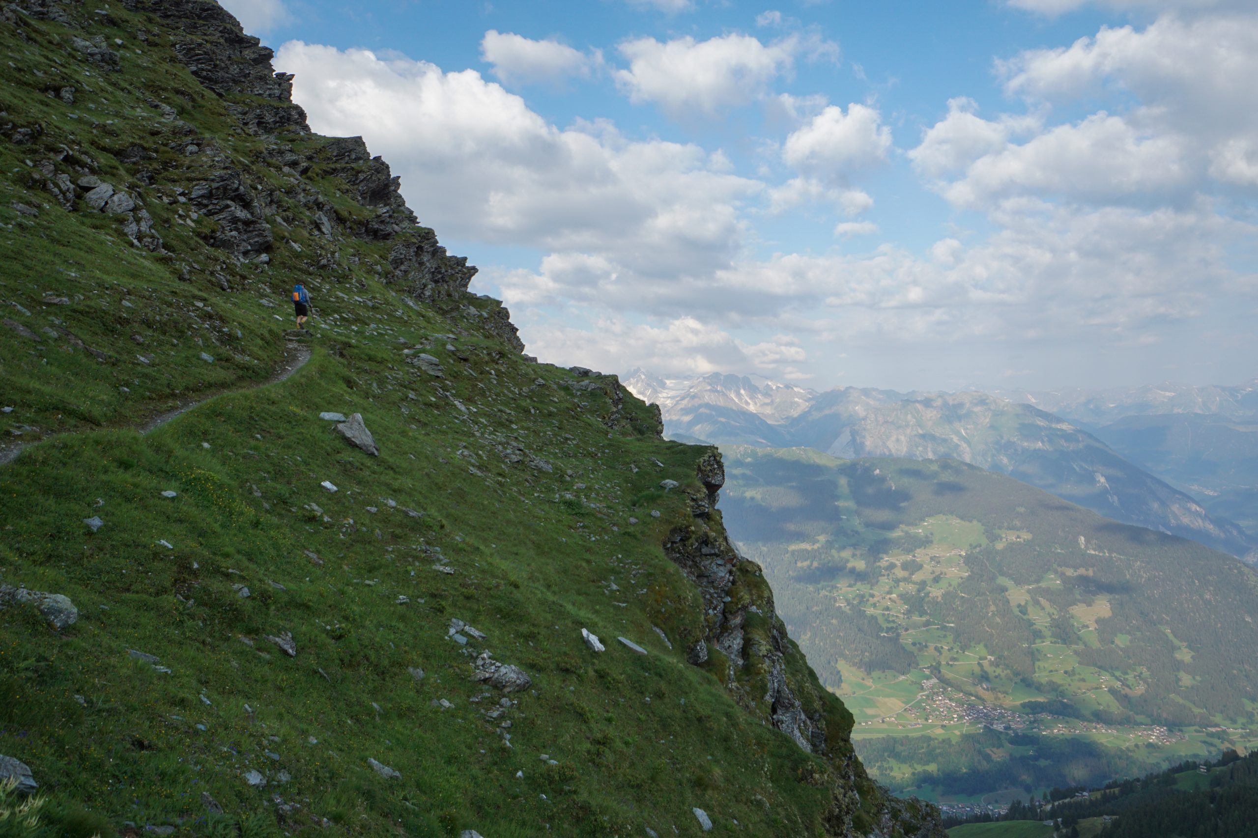
As the weather was great, we took the route via Sentier des Chamois, which is not recommended in bad weather conditions. It is considered an Alpine trail requiring some mountaineering technique, hence marked in blue instead of the regular red + white.
I must say that we did not encounter any technical sections besides a sharp climb alongside a steep cliff and a part with increased risk of a rock fall. I guess those are the parts that earned the blue status and would be indeed rather nasty and even dangerous to take in bad weather.
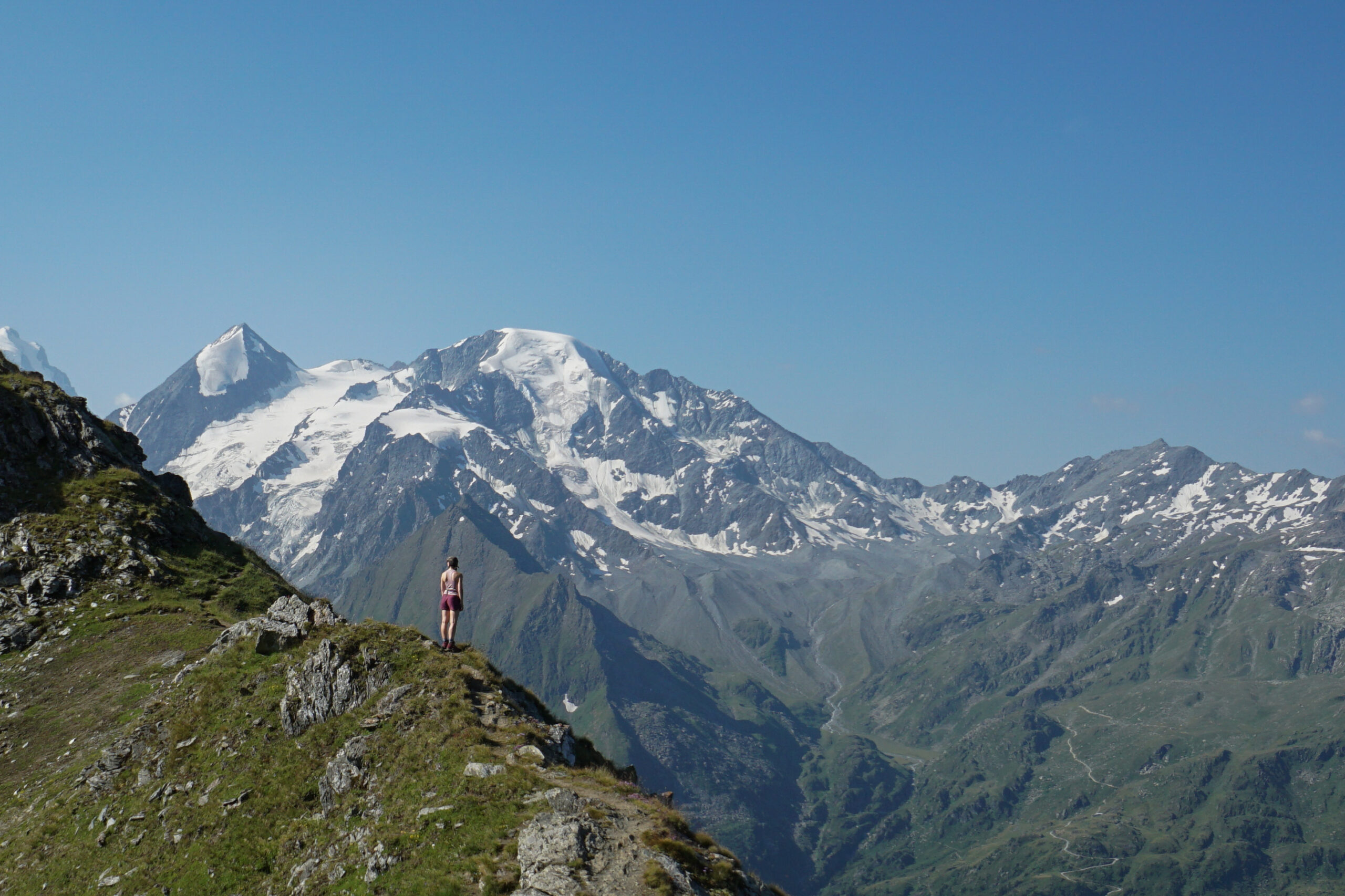
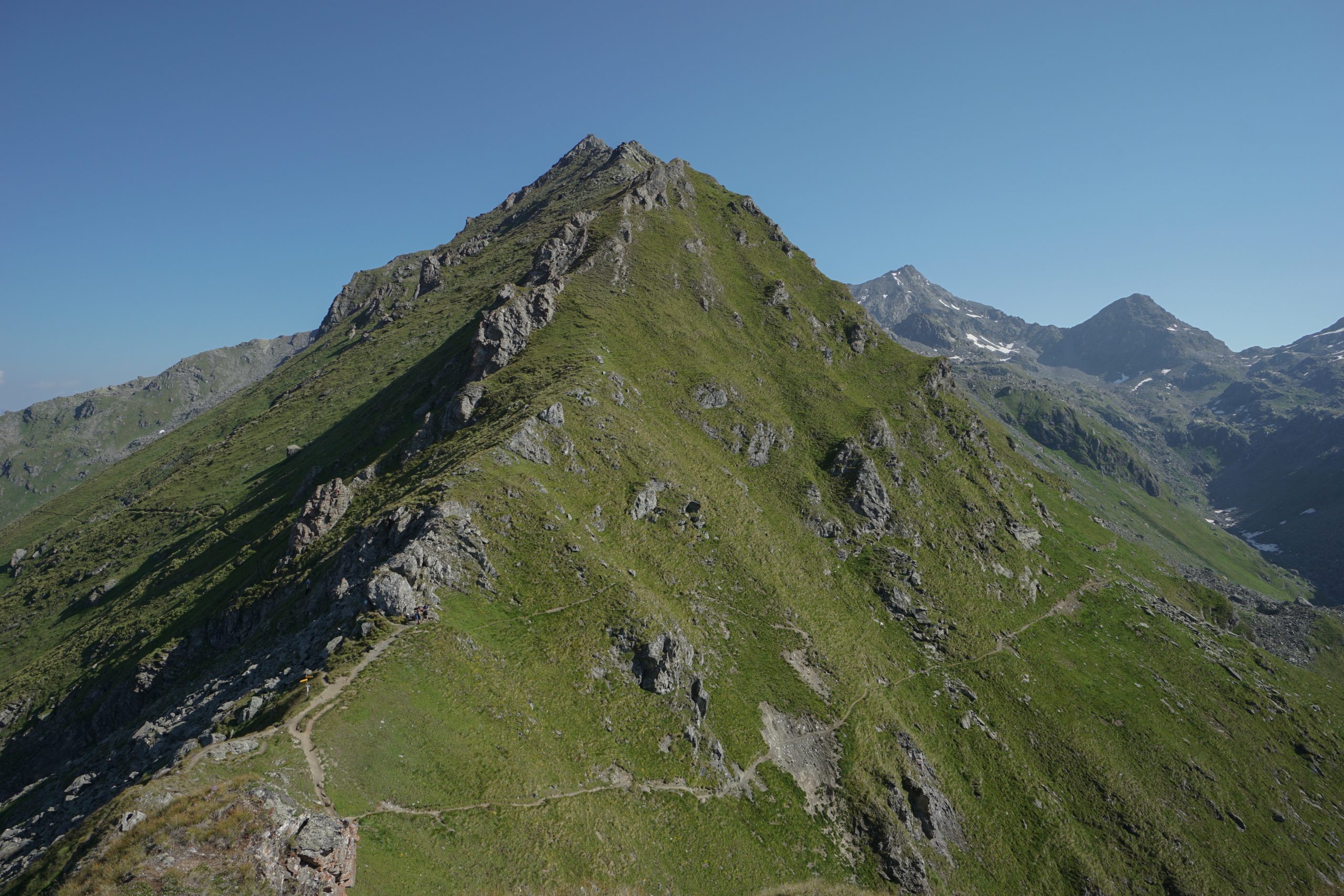
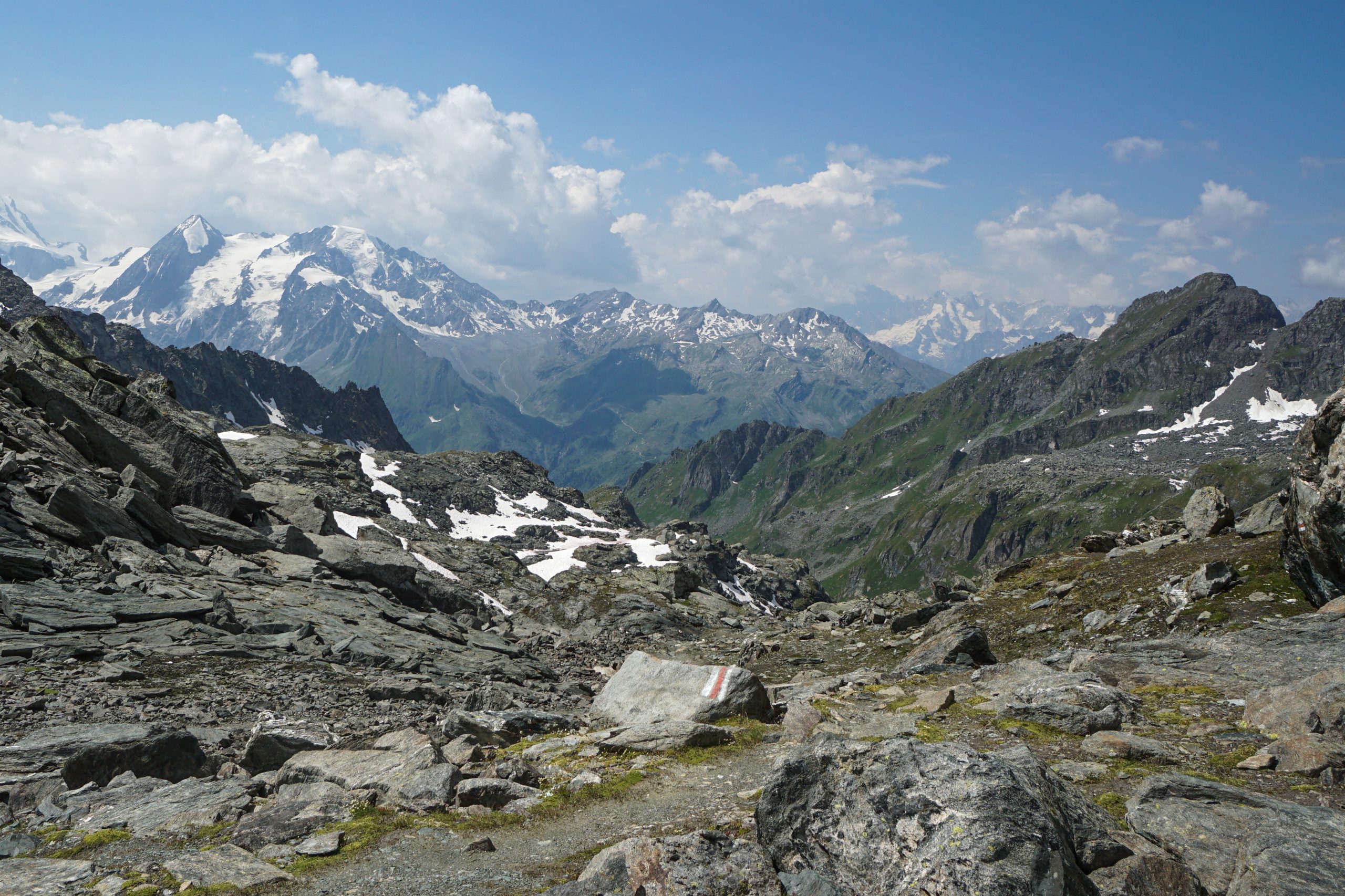
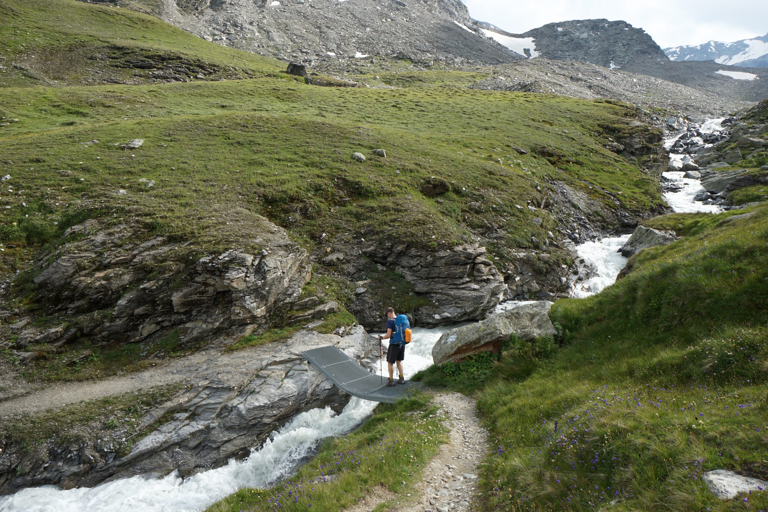
Overall, the section from the hut until Col Termin (2648m) was one of my favorite ones of the whole hike (let’s see how many times I’ll say it). The grand rock formations all around us and the quietness reminded me of Iceland. It was as if there was this magic and mystery in the air: you know this place has some interesting things to hide and you want to explore it further.
Talking about interesting things, this section is called Sentier des Chamois not for nothing. If you are quiet and pay attention, you’ll very likely spot a few chamois roaming on the slopes. We came across a whole herd of them chilling on the side of the mountain close to Col Termin.
In total it took us 1 hour of gradual climb to reach the pass. We were even a bit surprised when we saw the top – that’s it? 🙂 1/4 passes done.
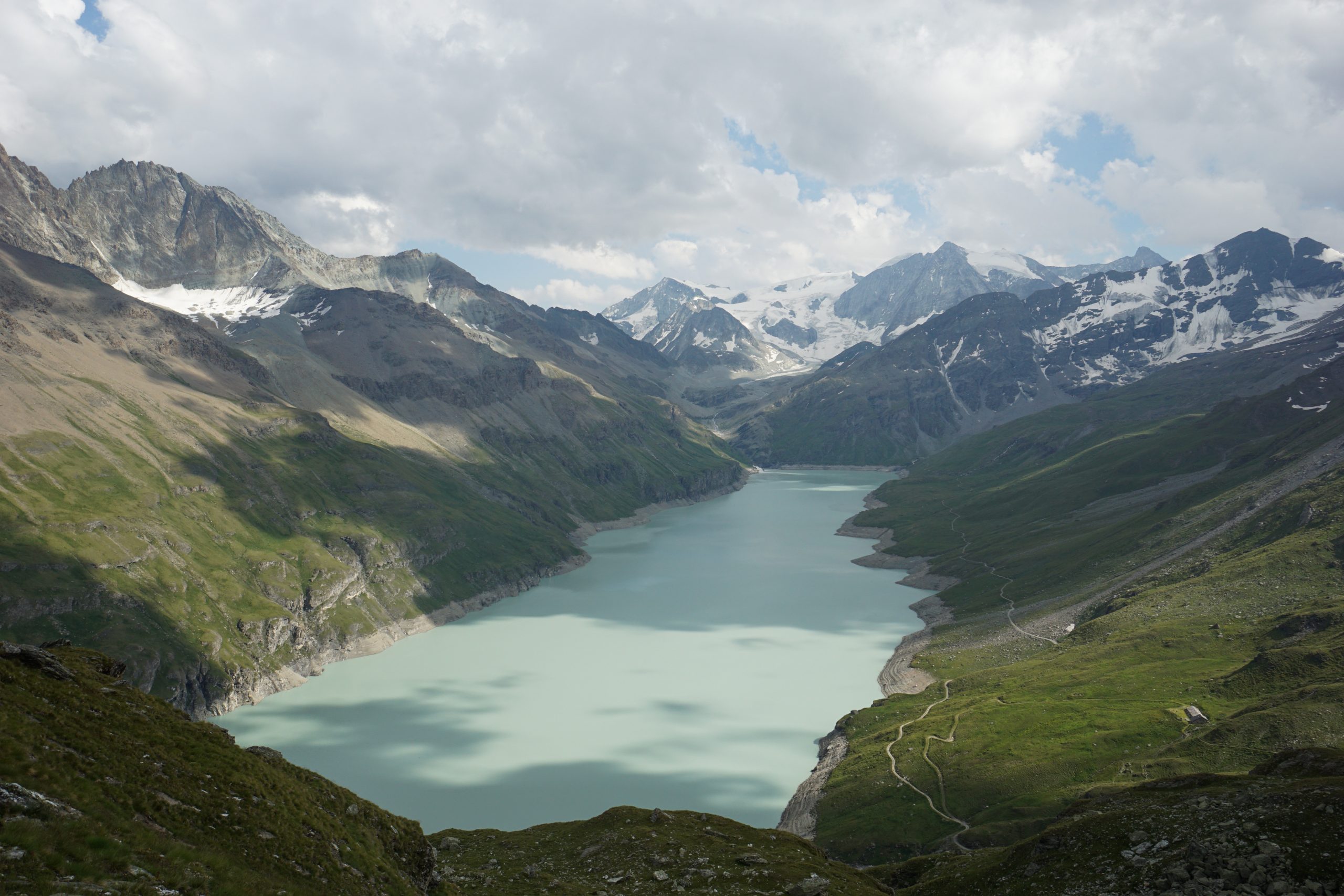
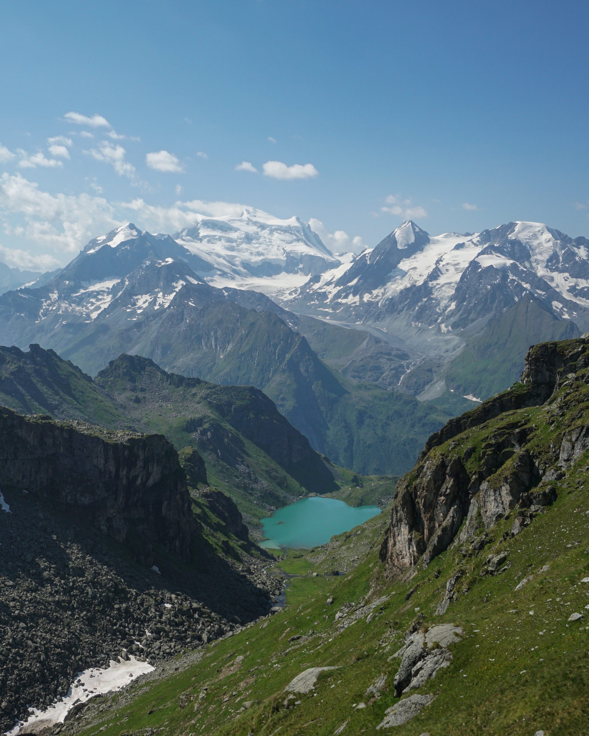
At Col Termin Yves and Jonas caught up with us and so we hiked the rest of the trail together. The path towards Col de Louvie (2921m) was really magnificent with a great view of Lac de Louvie and a snowy Combin massif.
I must admit that I have a sweet spot for mountain lakes. If I spot a lake between the mountains, that checks the marks for me as a day with awesome views. As we were leaving the lake behind, I kept on glancing back until it was hidden behind the mountains.
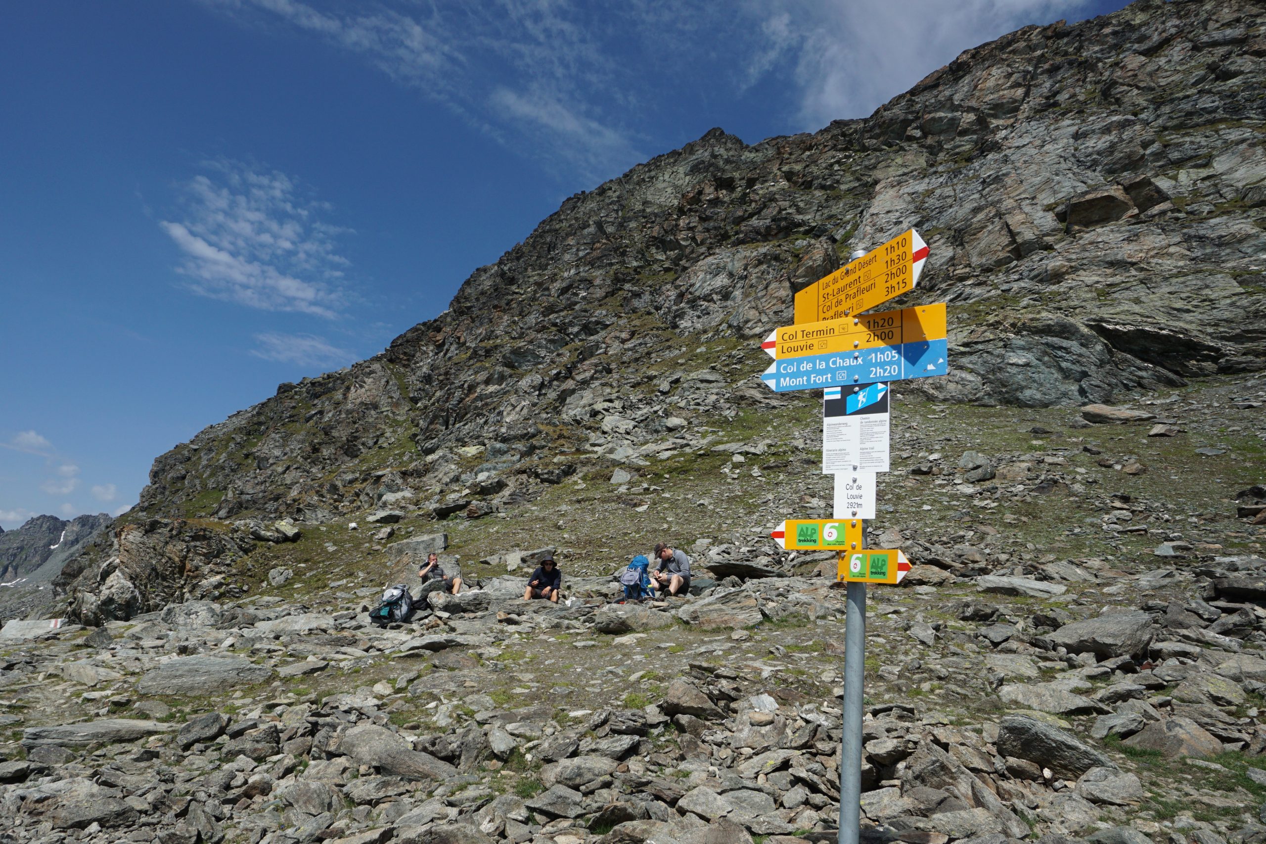
Closer to Col de Louvie the scenery was changing from grassy Alpine wonderland to a rocky terrain full of huge boulders. By the time we reached the top, the surroundings were rather hostile showing the true landscape of high mountains – rocks everywhere.
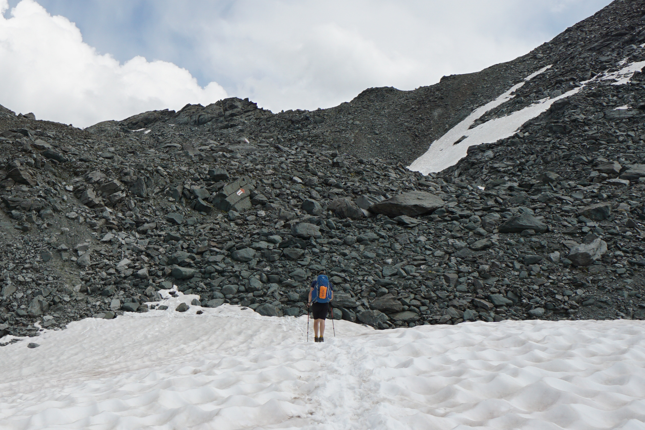
And here’s a twist – we reached what we thought was the Col to find that it’s a “fake” col and we still need to climb for another 30 mins! Did I mention it was a steep climb on rocks and boulders?? You can imagine my frustration at the fake top. But ok, eventually we reached the right col. 2/4 passes done.
The slope down from Col de Louvie was still covered in snow, so we descended in the most efficient way – sliding on our butts. During the ride my shorts served greatly as a snow collector that turned into a dripping cooling system for a couple of minutes afterwards. An unconventional solution when in the heat I’d say.
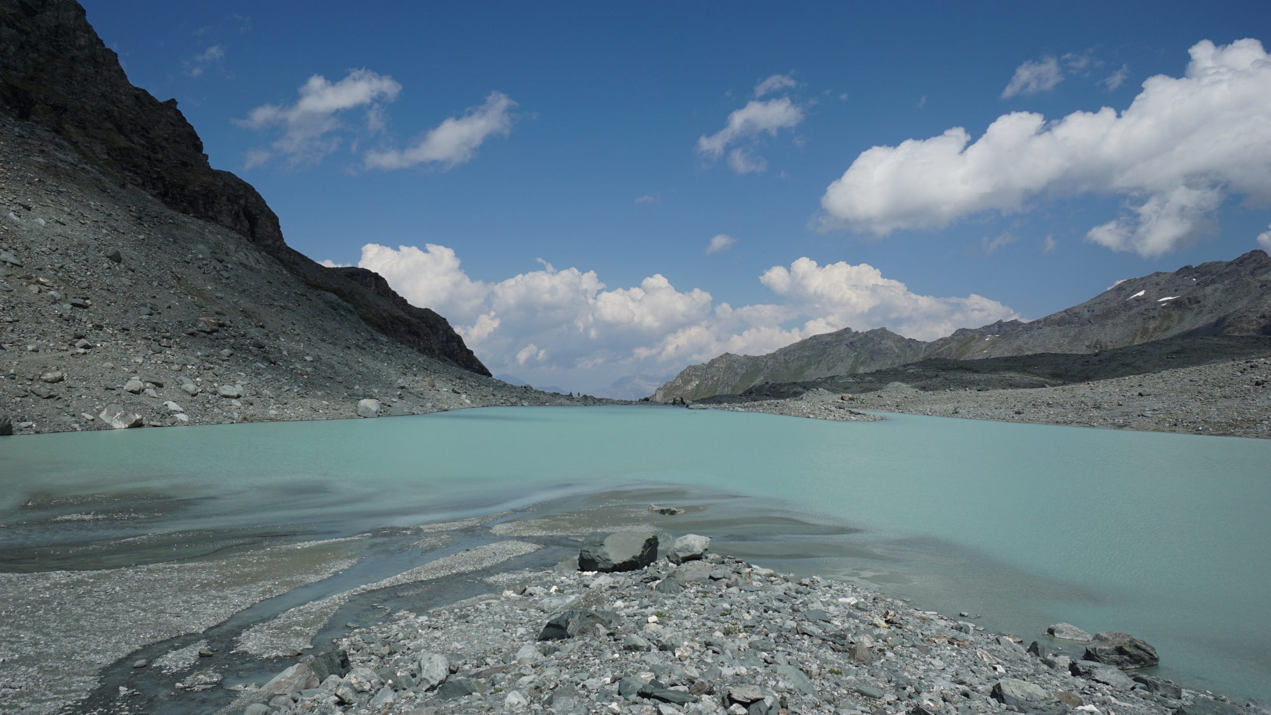
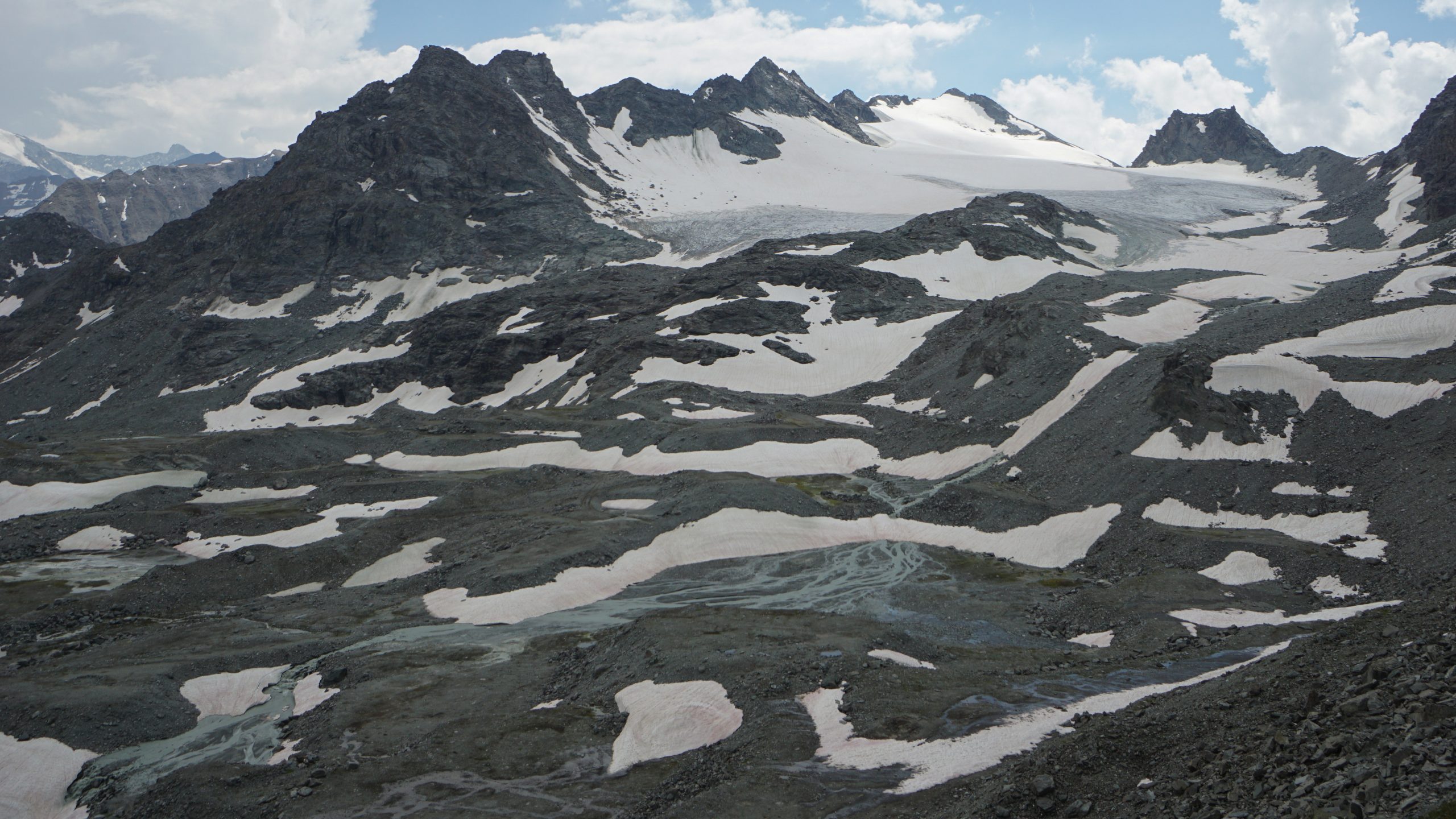
We descended to the Grand Desert, a true mountain desert, which looked both cool and intimidating. What used to be a glacier, now was a rocky terrain with little to no vegetation, reminding me that mountains perish too…
Another intimidating fact was a distant thunder and dark clouds gathering around us. The whole Grand Desert area had us fully exposed with no shelter options, so we raced to the next pass where the sky looked brighter (our alpine cloud movement knowledge more than questionable…).
I usually take at least a few minutes break every hour in steep terrain. This time there were no breaks longer than catching the breath for 3h straight. If you ever need extra motivation to pace yourself in Alpine terrain, just wait for a storm to come.
Once we passed the Grand Desert, it was a Peruvian flat – constant ups and downs around rocky terrain and little lakes. Patches of snow still lingered in some sections, slowing us down to cross a few sketchy slopes.
I even fell in the snow waist deep in one of those sections, getting myself a nice bruise on my thigh. Besides that the trail was ok, quite easy to follow despite rocks and boulders everywhere.
Close to the pass the exhaustion made it really difficult to keep up, but hey, no other option, just push it through. Col de Prafleuri (2987m) opened the next valley for us and we even spotted an ibex! It felt more as if he/she was stalking all the hikers, comfortably sitting on the edge of the mountain and not planning to move anywhere. 3/4 passes done.
We did not stay too long at the top of the pass as the stormy clouds were still brewing in the distance. The last pass of the day, being clearly visible from Col de Prafleuri, looked fairly easy so we decided to head down to the hut, have a late lunch/ early dinner break there and then continue to our evening destination.
The first 50m down were quite steep and unstable due to loose gravel (flashbacks from Fenetre d’Arpette), but the path quickly leveled and I could continue at a regular pace.
We crossed numerous streams that looked like water “bleeding” from the mountain (I hope it’s ok now, poor mountain) and descended to Cabane de Prafleuri.
Our plan to eat at the hut didn’t work out as they were not serving hot food anymore (nooooooo…). We were 30 min too late and could only buy some snacks and drinks. This long day will be a cold food day. Not great, but there’s nothing we could do about it + we had plenty of snacks.
At the hut Edo did not want to stay too long and get lazy, so after 20 min rest he pushed to go ahead. I got lazy anyway and found this last climb more like a crawl than a climb. It took me less than 30 min, but man, it felt soooo long! I think I took 1 min break for every 4 min of walking. I love hiking, but today was beginning to push my enjoyment limits 🙂
I was so focused on getting done with the climb that I had to let a sigh once at the top. The magnificent Lac des Dix was hiding behind Col des Roux (2804m) in its grandest (and bluest). We were lucky to scale the pass with such a clear panorama and even some sun while all the dark clouds were fading away.
No more rushing against the possible storms and we’re almost there. 4/4 passes done!
Originally our plan was to stay in Refuge des Ecoulaires, but while on Col des Roux we learned from a group of French hikers that people were allowed to camp in La Barma for free (or that’s what we all assumed). Free camping? Say no more.
It still took us a good 1 hour to reach the grounds of La Barma, where we arrived around 17:30. I was so tired that after our snack diner (bread, Nutella, Pringles) I just laid in the tent half awake feeling my muscles pulsing from the activities today.
It was a very tough day, but we made it. No storms and a spectacular camping location.
Day 6 tips
- Cabane de Prafleuri only serves warm food until 15:30, after that they still have a little shop open to get snacks and drinks.
- In case you are looking for an alternative to camping and you cannot stay in Cabane de Prafleuri, there is a hotel close to de Dix dam, which is downhill from the cabane.
